
Trans-Wisconsin Adventure Trail (TWAT)
MotorMedium$$5 daysSpring, Summer, AutumnBe the first
What Makes This Hard
The Real Challenge
Navigation and route-finding. The TWAT is not a single marked trail — it is a curated GPS route across hundreds of county and forest roads. Waypoints shift as roads are closed or rerouted. Download the latest GPX track and carry paper topo maps as backup.
Where People Struggle
Underestimating the Driftless Area. The unglaciated terrain in southwest Wisconsin is steeper and more rutted than the northern forests. Tire pressure management and momentum on loose gravel climbs are the key skills.
Key Numbers
- Distance
- 640 miles
- Duration
- 4-6 days
- Terrain
- 70% gravel/forest road, 20% two-track, 10% pavement
- Cost
- $500-$1,000 (fuel + camping)
Gear Essentials
- All-terrain tires with good sidewall ratings
- Recovery boards or MaxTrax
- Paper maps and downloaded GPX tracks
- Bug protection: head net, permethrin spray, DEET for June-August
Terrain & Conditions
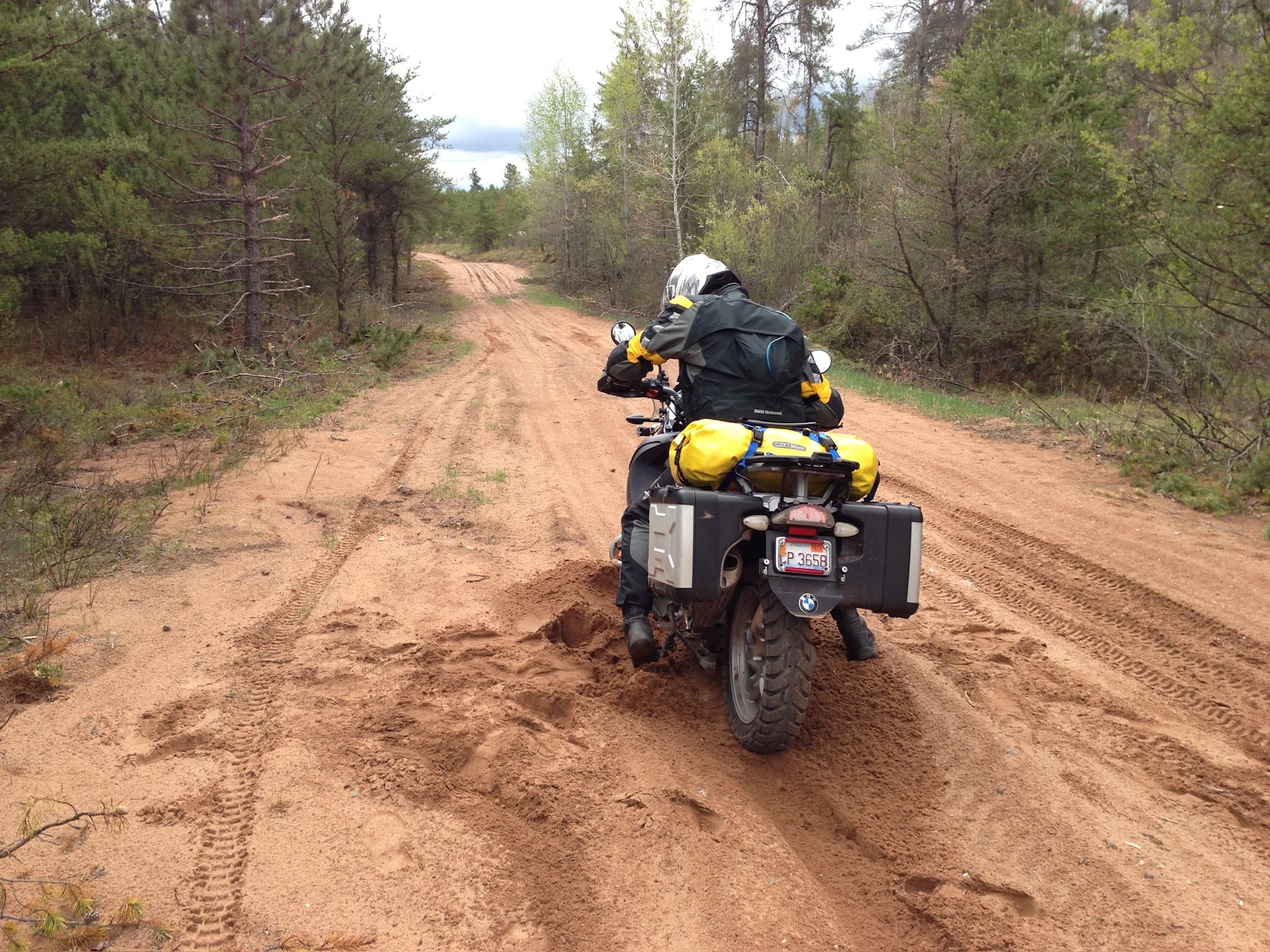
Mixed forest roads through pine plantations, hardwood forests, and the Driftless Area rolling hills. Northern sections pass through boggy lowlands that can be muddy after rain.
How Trans-Wisconsin Adventure Trail (TWAT) Compares
- Harder than
- Scenic Self-Drive Road Trip (off-road skills required, primitive camping)
- Comparable to
- Backcountry Discovery Route (similar distance and terrain mix)
- Easier than
- Trans-America Trail (shorter, less remote, better infrastructure)
Practical Logistics
- Best time to go
- May-October. Peak: September for fall color and low bugs.
- Permit / registration
- None. Some state forest campgrounds require a vehicle sticker ($8/day or $28/year).
- Getting there
- Start in Kenosha or Beloit (IL border). End in Superior (Lake Superior).
- Accommodation
- State forest campgrounds ($15-25/night), dispersed camping on county forest land (free).
- Typical cost
- $500-$1,000 total (fuel, camping, food). No entry fees.
- Guide
- No. Self-guided with GPS tracks.